
Thomasville Previous Residents by Era
The record trail behind a Thomasville address changes with the date. Current parcel tools are useful for identifying the property and its durable identifiers. Older household questions move into maps, directories, newspapers, and archives. No one row supplies a complete residence history. A tax card records an assessed owner for a tax year, a deed records parties to a transfer, and a directory records an association printed for one edition. Use the source most closely tied to the time and fact being tested, then compare it with a second dated record.
| Source | Years It Covers | Where Held | What It Shows |
|---|---|---|---|
| Early deeds, city history, and the 1868 county map | 1852-1890 | County, archival, and historical-map channels | Early lots, landowners, road names, mills, ferries, and township context |
| Sanborn sheets, historical maps, directories, deeds, and newspapers | 1900-1938 | Library, DigitalNC, map holdings, and deed sources | Building footprints, street labels, household snapshots, and transfer clues |
| Miller directories, tax records, deeds, and obituary indexes | 1941-1962 | DigitalNC, local-history collections, and county offices | Dated address lines, spouse notations, listed roles, and property continuity |
| Register of Deeds index, Tax Search, WebGIS, permits, and eCourts | 1984-current for online deeds | Davidson County offices and online tools | Recorded transfers, assessed-owner context, parcel linkage, and current map context |
| Tax Assessor notice and database downloads | 2026-2027 transition | Davidson Tax Assessor | Revaluation timing and dated parcel-data context |
Begin with the modern parcel only because it creates the bridge to older evidence. The county research identifies 1852-55 as the founding and railroad-arrival era, the 1868 and 1890 maps as early landscape sources, and 1900-38 as the period where maps, directories, deeds, and newspapers can be joined. The online deed index is a later route, not a substitute for the earlier office, library, or archive path.
Start Thomasville Previous Residents With a Parcel
Use Davidson WebGIS to locate the physical address, then record the parcel ID or PIN, tax parcel address, physical street address, ZIP layer, municipality layer, and neighborhood code. WebGIS can export a defined result set and its mobile help connects a property card with a deed book and page route. The map disclaimer still applies: map data is context and not a survey or an official certification. A current point on a map does not convert an older street string into the same address without a dated cross-check.
Next, use the PIN or address in the Tax Real Estate Search. The observed form accepts owner name, account number, structured parcel number, tax year, PIN, and property address. It requires a street abbreviation such as RD or ST for an address query. Preserve the tax year. The county delayed its 2026 revaluation until 2027, so a value or billing record must not be compared with an older card as if every year used the same baseline.
The Davidson historical-maps collection supplies the map side of a Thomasville house-history search.
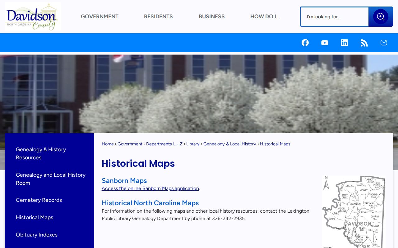
Use a dated map to test a road label or building footprint, then return to the parcel and deed record for the recorded property trail.
Trace the Thomasville Deed Chain Backward
After the parcel is identified, the Davidson Register of Deeds is the key transfer trail. Pull the latest recorded deed and note the grantee, grantor, recording date, book and page or instrument number, legal description, and any consideration displayed. Then search the buyer as a grantee to locate the prior purchase and repeat the sequence. Search the seller forward as a grantor when testing the handoff. The address is a useful shortcut, but the legal description and recorded identifiers are more durable when street names or numbers have changed.
- Record the current parcel/PIN, physical address, tax year, and legal-description clue from the assessor or GIS route.
- Find the most recent deed in the Register of Deeds index and capture the recording date, parties, document type, and book/page or instrument identifier.
- Search the current grantee as a grantee to find the earlier acquisition, then identify that earlier seller.
- Repeat one transfer at a time, keeping a source-dated table with address label, parties, legal description, and uncertainty note.
- Search document type Release when a satisfaction of a deed of trust may explain a later transaction, then inspect older books or office-held material when the online index stops.
- Grantor
- The party transferring an interest in a recorded instrument. A grantor is a transaction role, not proof of who occupied the property.
- Grantee
- The party receiving an interest in that recorded instrument. Search this role backward to locate an earlier purchase.
- Chain of title
- A documented sequence of recorded transfers linking one deed to an earlier deed. Gaps and unresolved descriptions should stay visible.
- Legal description
- The parcel wording in a deed, such as lot/block references or metes and bounds. It can outlast a street-number change.
Thomasville Previous Residents Before 1984
Davidson County states that real-estate records are indexed online from 1984 to current. For an earlier Thomasville transfer, use the Register of Deeds office, its public computers or self-service kiosks, then the Genealogy and History Room or State Archives route where appropriate. The county office holds deeds, deeds of trust, releases, plats, liens, and related real-estate material. Color-coded plats may not upload to the online index, so a recorded plat may require an office copy or in-person inspection rather than a reconstructed screen image.
The Register of Deeds offers an online entry point at its county office page; the research found that its linked search path returned a 404 during the unattended check, while the root site redirected to the name-search interface. If an online search fails, the fallback is concrete: call, visit the counter or kiosk, use the available mail, fax, or phone channels, and give staff the parcel, former street label, deed book/page, or party name. A narrowly defined request is more useful than a broad request for every past person at an address.
The Davidson Register of Deeds is the source for the recorded-transfer side of a previous-residents inquiry.
Bring the current parcel ID, a dated tax card, and the last known deed clue so the counter search can move past a street-address mismatch.
Thomasville Previous Residents and Old Streets
Street history can hide the same house. Thomasville's historic grid is organized around the railroad, and North and South Main streets along it were eventually renamed West and East Main. Davidson's uniform road-name and addressing program, built for Automatic Location Identification 911, targeted an April 27, 1992 start. A directory entry, Sanborn label, or deed description from before that change may not be found by typing a current address word for word.
Make an address crosswalk with separate columns for the source date, printed street label, street number, nearby cross street, map sheet, current label, parcel/PIN, and confidence. A 1935 Rural Delivery line is not automatically a numbered street address. Likewise, a current GIS point is not proof that an early directory notation refers to the same structure. The 1890 Thomasville inset and the 1938 county map are useful date-bound companions when a name or number changes.
Comparison point. USPS-style addressing, GIS geography, tax assessment, and a recorded deed answer different questions. Keep their dates and roles separate before joining them into a house-history timeline.
Thomasville Past Households and Census
Owners are only one layer of an address history. Thomasville directories can provide a dated household or street association, and the 1933-34 book defines h as householder, r as roomer or resides, and RD as Rural Delivery. The 1935 preface adds its own house-to-house canvass method and a broad set of fields. Pair a directory edition with the closest accessible census schedule when census context is needed, but do not collapse the two sources into one claim. Each was compiled at a different time and for a different purpose.
Use a simple handoff: address or parcel → historical street-label check → directory year and page → nearest census schedule → deed, map, obituary, or cemetery check. Record the evidence as a sequence instead of assuming that a surname match creates a household link. The historical volumes and their publishers are covered in greater detail in the Thomasville city directory collections.
- Select a directory year that matches the period of the address question and copy the page, street spelling, and household mark.
- Check the closest census schedule for compatible names, household context, and place, keeping mismatches in the notes.
- Compare that dated household evidence with the deed parties and legal description, not merely with a current tax mailing address.
- Use Sanborn maps, permits, historic-district records, or newspapers only for the precise building or date question each source can support.
Note: A tax mailing address, deed party, and directory household line can all be accurate while describing different relationships to the same property.
Thomasville Previous Residents in District Files
Historic-district material can be a useful property clue when an address lies in the right place and time. Thomasville's Salem Street Historic District was designated in 2001, and the Colonial Drive School Historic District was designated in 2005. City planning and Historic Preservation Commission files can include approvals or property-history context. The research did not locate a verified current machine-readable city permit or commission-file search, so use the city office or a North Carolina Chapter 132 request with the street address, parcel number, permit number, or date range.
Keep these records in their own column on the timeline. A Certificate of Appropriateness can date a proposed change, but it does not establish that the applicant lived at the address or that work was completed. A directory household line, map footprint, assessed owner, and recorded deed each have a different purpose. Comparing them is stronger than treating any one as a complete answer about previous residents.
Thomasville Previous Residents at the Trail End
When a name drops from a directory, use endpoint sources without assuming the reason. The Dispatch obituary indexes cover 1888-1948, 1951-1975, 1976-2000, and 2001-2009. A directory address or spouse notation can narrow the search, followed by the newspaper page or library database. Davidson County cemetery records divide Thomasville material between Volume VII for Thomasville and Volume VIII for Thomasville Area. The volume boundary matters when an expected record is missing.
Sanborn sheets and historical maps can date a building footprint, materials, use, outbuildings, and nearby streets, but they are not an ownership ledger. Historic-district or permit files can place an alteration in time, yet the applicant may be an owner, contractor, or agent. A probate file can explain an estate transfer, and a release can explain a completed property transaction. Each handoff earns a separate source citation and a separate confidence note.
The Davidson cemetery-records resource is the appropriate local route for the cemetery portion of the trail.
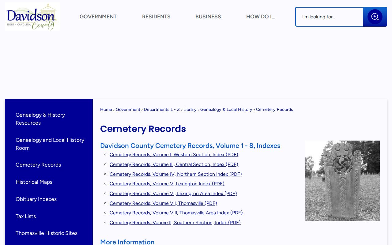
A cemetery entry can support a death date or family connection, but it cannot establish who was the last person at a street address.
Use records safely. Thomasville house-history research is for family history, property curiosity, and documenting an address over time. Do not use a historical or current record to stalk, harass, threaten, or harm any person.