
Thomasville Neighbors by Block
For Thomasville neighbors, define the area before collecting records. A useful block set contains the target parcel, directly adjacent parcels, street names, ZIP layer, municipality or outside-city layer, neighborhood code, and any relevant public map layers. That gives a geographic set without claiming that every person nearby belongs to a household, association, or social network. Then use a selected record only for the limited fact it supports.
| Source | What It Shows About a Block | Access |
|---|---|---|
| WebGIS parcels and addresses | Adjacent parcels, address points, roads, ZIP, neighborhood, municipal boundary, and map extent | Interactive identify, select, and current-extent CSV export; accuracy disclaimer applies. |
| E-911 GIS service | Road centerlines and address points used for emergency-location context | Official map service with query, identify, and export support. |
| Tax Real Estate Search | Assessed owner, mailing and property address, parcel, tax year, zoning, and values | Davidson tax query; the observed form has no ZIP field. |
| Deeds and releases | Recorded transaction parties, dates, and legal descriptions | Online index from 1984 forward; earlier material needs the office or archive route. |
| Directory and map sources | Historical street households, building context, and earlier street labels | DigitalNC, library, museum, Sanborn, and county historical maps; choose a year and page. |
| Voter record | Public registered-voter fields where the record is not protected | State lookup or a narrowly defined statutory list request; not a household roster. |
Tax ownership, mailing address, and occupancy are not interchangeable. The block table should say which field came from which source and which date it represents. That distinction is especially important where a Thomasville mailing address crosses a municipal boundary or where an address has changed over time.
Map Thomasville Neighbor Parcels
Davidson County WebGIS is the practical starting point for immediate Thomasville neighbors. Search the physical address or street, inspect the current extent, and use Identify or Select on the surrounding parcels. The result set can be exported as CSV when a structured parcel list is needed. Map measurement can help describe a small radius, but a measured buffer is not the same as a legal determination of parcel adjacency.
- Find the target address or PIN in WebGIS and save the parcel ID, physical street address, ZIP layer, municipality layer, and neighborhood code.
- Leave the map at that extent. Use Identify or Select on the parcels that touch or directly surround the target, then record each parcel ID before expanding the search.
- Open the selected parcel in Tax Real Estate Search. Keep assessed owner, tax mailing address, property address, and tax year in separate columns.
- Use a deed book and page, instrument identifier, or legal description for selected follow-up only. A broader named-street record trail belongs in the Thomasville streets reference.
If no records appear, clear the results, reset layer visibility, zoom to a fixed scale, and try the physical street address or parcel PIN again. The map’s mobile help also links a property card and deed book/page route, but the assessor and Register of Deeds remain the offices that verify those records.
Thomasville WebGIS Layer Context
The WebGIS legend provides more than parcels. Thomasville research can add public and private roads, address points, five countywide ZIP layers, polling places, schools, fire and EMS layers, townships, historic districts, qualified property sales since 2022, tax neighborhoods, and municipalities. These layers explain how a block is organized. They do not establish that a person attends a school, uses a service, votes at a location, or lives at a nearby address.
The official Davidson County GIS legend lists the available Thomasville map layers.
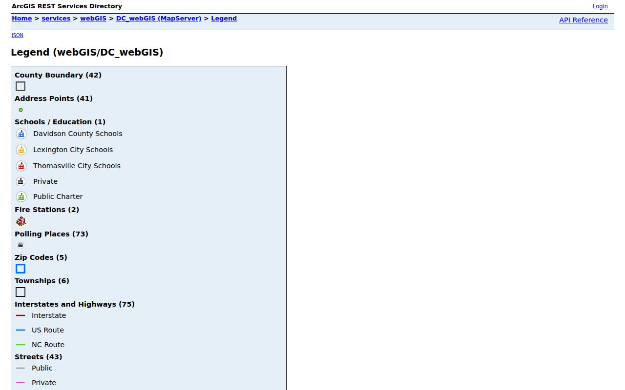
Use the layers as labeled geographic context, and record the map scale and export date with any block notes.
Note: The county says WebGIS draws from government and private sources, is not guaranteed accurate, and is not a substitute for a survey or official source.
Thomasville Neighbors and Property Roles
The tax and deed records answer different Thomasville block questions. Tax Real Estate Search accepts owner last and first name, account number, parcel number, tax year, PIN, and property address. The parcel number is broken into TW, MAP, S, BLK, LOT, SP, U, and DV fields, while the address search expects abbreviations such as RD or ST. The tax card is an assessment record, so its owner and mailing fields should never be restated as a current household list.
A deed gives a recorded grantor, grantee, date, legal description, and an identifier when the index supplies one. For a neighbor parcel, its legal description may be more stable than its street number. Search a current owner as grantee, then trace the grantor backward if the property history is relevant. Search document type Release when checking a satisfaction, as Davidson County specifically recommends. Color-coded plats may not be online, so request an office copy instead of recreating a boundary from a screen image.
Thomasville Neighbor Voter Boundaries
North Carolina makes specified voter fields public, but the observed lookup has no “voters on this block” control. The direct interface uses first name, last name, and voter status, with optional middle initial, birth year, and county. Public lists can be selected by county, precinct, party, gender, race, registration date, district, or voting history under the election statutes. A defined request should name the needed geography, fields, period, and format rather than asking the elections office to assemble a new block analysis.
Public voter fields can include name, county voter ID, residential and mailing address, party, precinct, districts, and voting history. They exclude Social Security data, date of birth, email, driver-license information, and voter-ID image or copy. Signatures may be viewed but not copied or traced. The Davidson County Board of Elections is the local route for corrections, history questions, and current precinct confirmation. A protected address remains protected even when nearby parcel records are available.
Thomasville Neighbor History by Year
For historical Thomasville neighbors, choose a year first. The 1933, 1935, 1943, 1956–57, and 1962–63 directories can be read from a street or address sequence, then paired with a Sanborn sheet, newspaper item, or deed. Keep a historical table separate from a modern parcel table. Its useful fields are directory year and page, printed street label, householder or roomer marker, spouse or household detail, occupation, and map-sheet reference.
Street labels need their own check. The railroad divides the historic center, and North and South Main were eventually renamed West and East Main. Davidson’s uniform 911 road-name and address program had a targeted April 27, 1992 start. A directory, deed, or Sanborn address can therefore fail a literal current-address search even when it refers to the same place. The historic district layers for Salem Street and Colonial Drive School help locate relevant records, but a designation is not evidence of who lived there.
Thomasville Community Resource Gaps
Thomasville has useful public community-history resources, but the research did not find a current official member directory for neighborhood associations, block watches, congregations, or homeowner groups. That absence matters. Do not replace it with scraped profiles, private rosters, or an inferred list of Thomasville neighbors. Use the library and museum as referral points for historical collections, and publish only an organization’s public route when one is verified.
| Resource | Block or Historic Role | Directory Gap |
|---|---|---|
| Salem Street Historic District | Public historic residential and railroad-corridor context | District designation is public; no official resident or member directory was found. |
| Colonial Drive School Historic District | Historic school and neighborhood context, designated in 2005 | Approval history may be public; no resident roster was located. |
| Church Street School and Thomasville Black History collection | Community-history material on people, school, and civic life | Digitized museum collection, not a current neighborhood association list. |
| Davidson County Historical Museum and Genealogy Room | Vertical files, directories, maps, and local-history referrals | Public research contacts, not a neighborhood resident roster. |
| City civic organizations | Named civic clubs and community groups in local resource material | Names may be public, but member and contact rosters were not verified. |
Thomasville Neighbor Tool Comparison
Official record roles and commercial neighbor-tool categories solve different problems. The official path exposes a source, date, custodian, and limited record purpose. A commercial category may combine address-history fragments, marketing files, and public filings into suggested household links. Those suggestions can be stale, merge unrelated people, or confuse a tax mailing address with occupancy. The safer Thomasville method keeps the map extent small and cross-checks only the records needed for a defined question.
| Official parcel and tax records | Show a parcel, assessed owner, address fields, and tax-year context. They are not a current household census. |
|---|---|
| Official deed and voter routes | Show recorded transaction parties or statutory public voter fields, subject to their own timing and safety limits. |
| Commercial neighbor-tool category | May infer relationships from mixed data. Treat results as unverified leads, not a source to republish or a substitute for the custodian. |
Thomasville Address Request Fallbacks
When an online map cannot answer a narrow question, start with the office that owns the record. Davidson County E-Services links building permits, property, septic, restaurant-grade, GIS, tax, and vital routes. Thomasville Planning and Inspections can be asked for a defined permit, zoning, inspection, or historic-preservation file using a street address, parcel number, permit number, or date range. No current machine-readable Thomasville permit or code search by person or address was verified, so an office request is the documented path.
The official Davidson County E-Services directory is the countywide starting point for those address-keyed record channels.
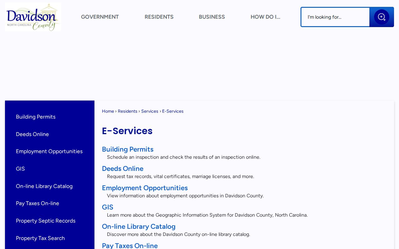
Use a defined address and date range, then verify whether the city or county is the custodian before requesting copies.
Thomasville WebGIS Accuracy Check
Map results should travel with the county’s disclaimer. WebGIS combines information from government and private sources, does not guarantee accuracy, and is not a survey or official source. The map remains valuable because it can link a parcel click to the property card and deed search, but a boundary, owner name, or address conclusion should be checked with the appropriate office record.
The Davidson County WebGIS entry point publishes that accuracy boundary alongside the map tools.
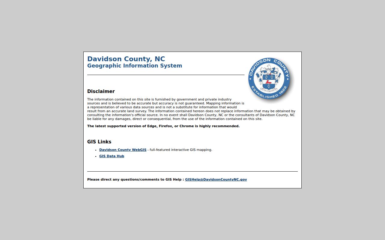
It is a useful reminder that a screen capture is a geographic lead, not a survey, title opinion, or residence finding.
Thomasville Neighbor Safety Limits
Thomasville neighbors are not a public bulk list. Renters, household members, children, guests, and utility customers are not reliably indexed through parcel records. DMV address information is restricted. The Address Confidentiality Program can withhold a participant’s physical address, and voter protections can apply to people with qualifying orders or safety statements. Never use adjacent records to triangulate a protected address, copy signatures, or expose sealed material.
Lawful use. Keep a Thomasville neighbor search narrow, source-specific, and lawful. Do not use block records to monitor, stalk, harass, intimidate, impersonate, defraud, or harm another person.
Property-fraud letters, fake tax notices, and impersonation calls may use a real parcel or docket number to appear credible. Verify through an official county contact, not the callback information in the message. The Davidson Register of Deeds links a property-fraud alert service, while suspected fraudulent recording should be reported to the Register and Davidson County Sheriff.